


Comparison of forestry-based remote sensing methodologies to evaluate woodland caribou habitat in non-forested areas of Newfoundland
The Forestry Chronicle
September/ October 2017
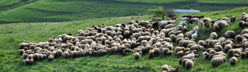
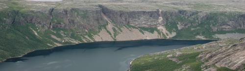
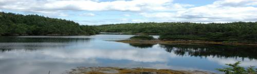
Forest inventory maps and a manual interpretation of forestry enhanced Landsat imagery are compared to the results of a detailed aerial photograph interpretation used to map habitat for caribou in a relatively unforested region of Newfoundland. This comparison serves as an illustration of the pitfalls inherent in using readily available remote sensing technologies in applications of which they were not intended. The non-forest classes in the Newfoundland Forest Inventory are too broad to describe single vegetation communities, and only rarely are vegetation comminties found entirely within a single forest inventory class. For example, "bog" is relatively well asociated with wetland vegetation classes and "barren" with upland classes, but "scrub" is a misleading term used to describe both forest and non-forest communities. An earlier (global) forest classification for Newfoundland has a more reliable association of scrub with forest, but a less reliable identification of bog than later updates to the forest inventory in the study area. Landsat imagery applications for forest inventory updates do not appear useful in identifying non-forest vegetation communities. Caution should be taken in using forest inventory maps in wildlife habiitat applications when the habitiat includes important non-forest components.