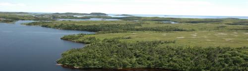
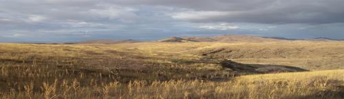
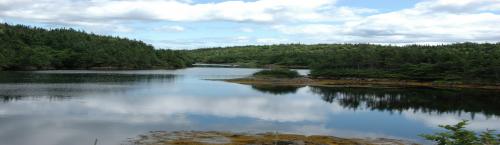
Forest inventory maps and a manual interpretation of forestry enhanced Landsat imagery are compared to the results of a detailed aerial photograph interpretation used to map habitat for caribou in a relatively unforested region of Newfoundland. This comparison serves as an illustration of the pitfalls inherent in using readily available remote sensing technologies in applications of which they were not intended.
Evaluation of woodland caribou habitat in non-forested areas of Newfoundland
The Forestry Chronicle
Author(s):
Brian E. McLaren and Shane P. Mahoney
Forest inventory maps and a manual interpretation of forestry-enhanced Landsat imagery are compared to the results of a detailed aerial photograph interpretation used to map habitat for caribou (Rangifer tarandus terra novae) in a relatively unforested region of Newfoundland. This comparison serves as an illustration of the pitfalls inherent in using readily available remote sensing technologies in applications for which they were not intended.